Fire officials, the sheriff’s office and the utility give the morning update on containment, evacuation zones and the power shutoff. Full briefing, with the map walkthrough at 09:40.
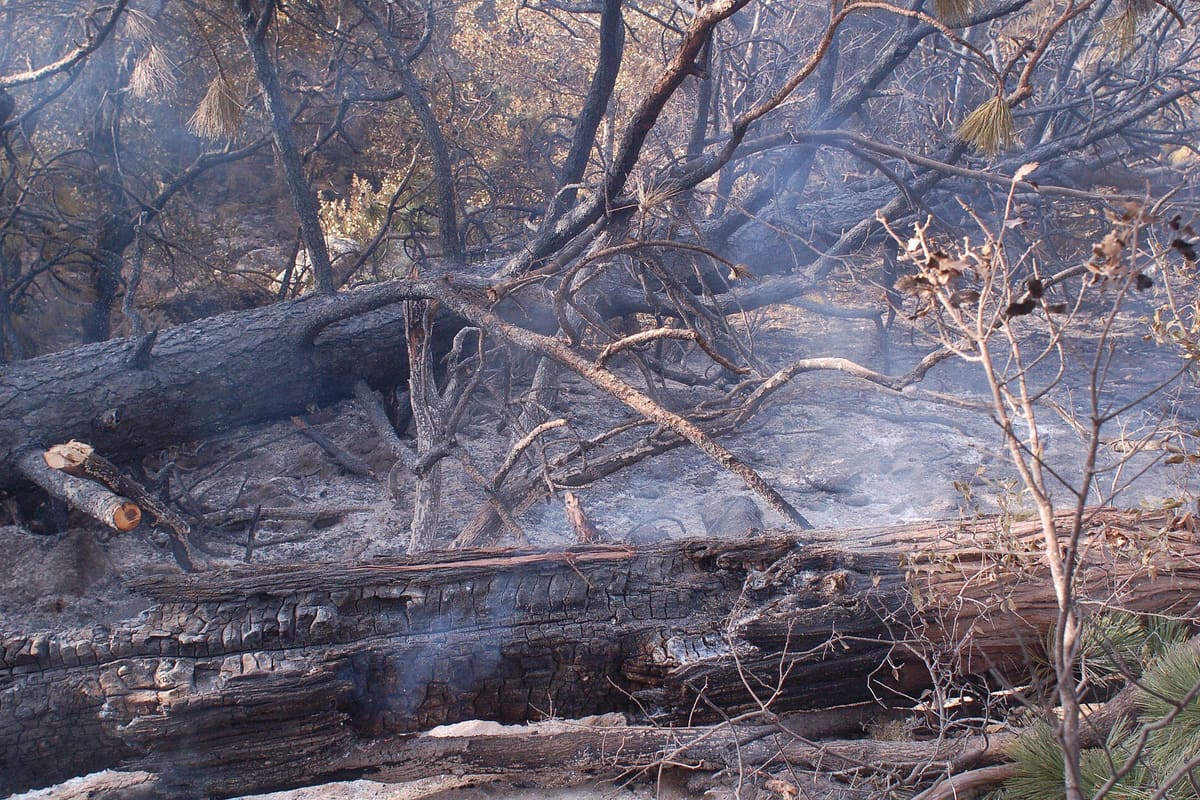
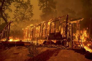
The fire doubled in size overnight as winds shifted onto a ridge above two subdivisions. Crews say containment is in single digits and the next twelve hours will decide whether the eastern flank holds.
The updated outlook calls for 17 to 21 named storms. Emergency managers say the figure that should drive planning is landfall probability along a given stretch of coast, which the seasonal outlook does not provide.
Afternoon highs will reach 112°F in the desert valleys. Health officials say the greater risk is that overnight lows stay above 85, giving the body no chance to recover.
Average tornado warning lead time is now about 17 minutes. Research on what people do in those minutes finds most spend the first several seeking a second confirmation.