A heat dome settles over the southwest, and the overnight low is the dangerous part
Afternoon highs will reach 112°F in the desert valleys. Health officials say the greater risk is that overnight lows stay above 85, giving the body no chance to recover.
- Highs of 108 to 112°F forecast in desert valleys through the weekend
- Overnight lows expected to stay above 85°F in urban areas
- Cooling centers open in eleven counties; utilities suspend disconnections
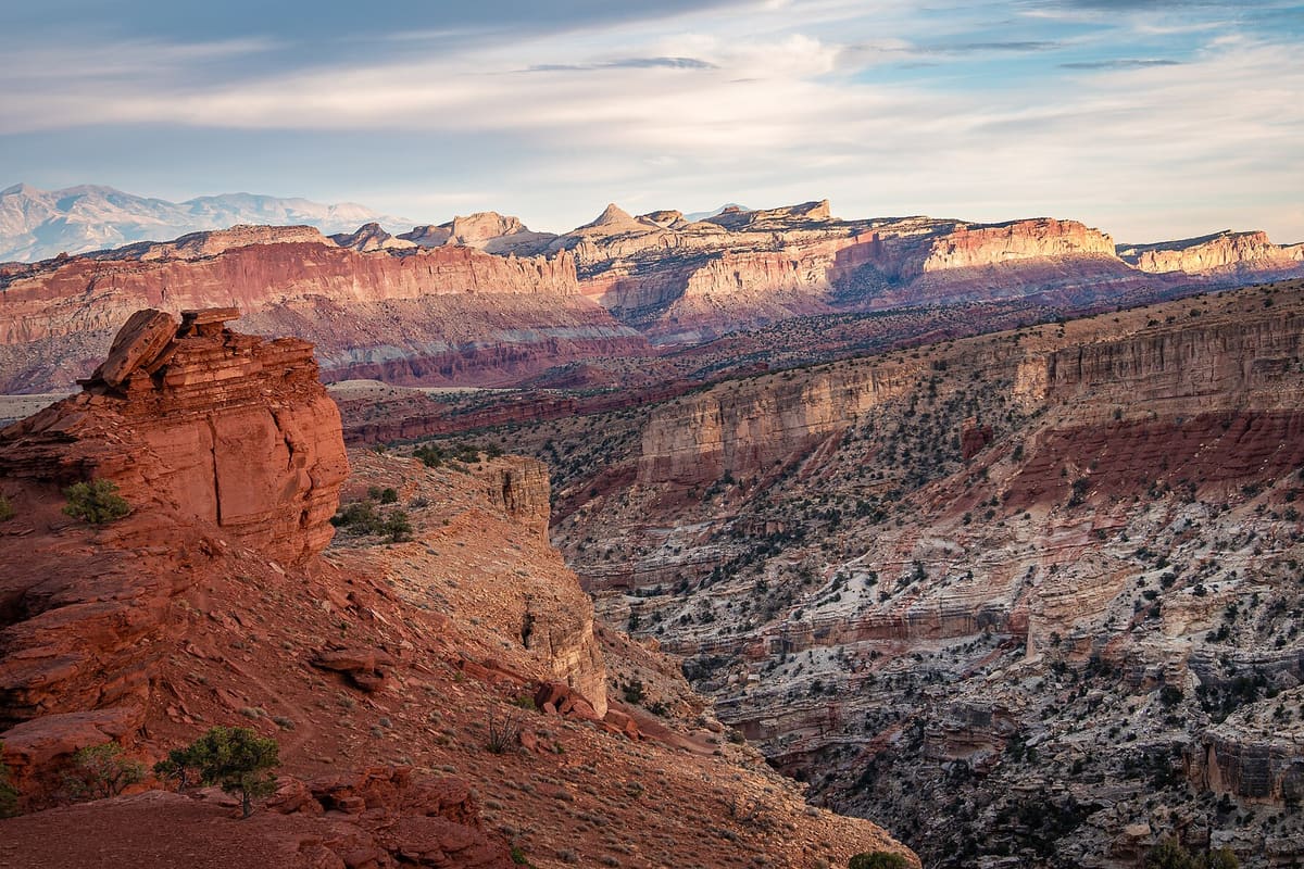
A ridge of high pressure has settled over the southwest and will hold through the weekend, with afternoon highs of 108 to 112°F forecast in the desert valleys and 98 to 104 across the lower elevations.
The number that concerns health departments is not on that list. Overnight lows in the urban cores are forecast to stay above 85°F for four consecutive nights.
Why the night matters more
The human body tolerates extreme heat during the day partly on the expectation that it will cool down afterward. Core temperature falls overnight, cardiovascular strain eases and sleep restores some capacity to cope the following day.
When the low stays above roughly 80°F, that recovery does not happen. Heat illness in multi-day events concentrates on the third and fourth days, and disproportionately affects people without air conditioning or without the means to run it.
Nobody dies of the high temperature on Tuesday. They die because Monday night never cooled off and neither did Sunday night.— A county public health officer
What is open, and what is being suspended
Cooling centers are open in eleven counties, with extended hours at libraries and community centers, and several transit agencies are running free service to them. Two utilities have suspended disconnection for non-payment for the duration of the advisory.
Officials repeated standard guidance with one addition: check on neighbors over 65 living alone, who account for a disproportionate share of heat deaths and are the least likely to seek help.
- Highs: 108–112°F in desert valleys; 98–104 at lower elevations
- Overnight lows: above 85°F in urban cores for four consecutive nights
- Response: cooling centers in eleven counties; free transit to several
- Utilities: disconnection for non-payment suspended for the advisory period
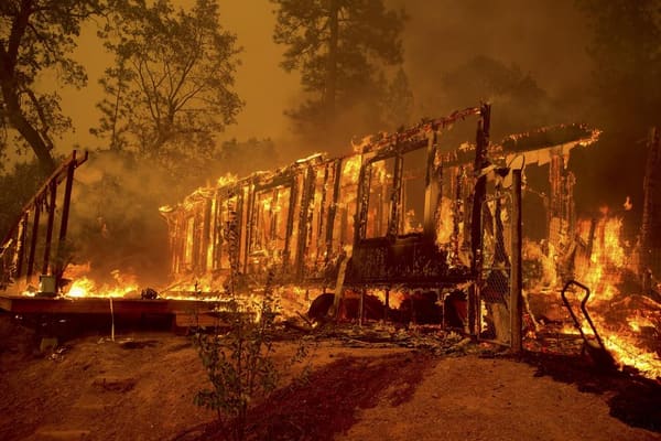
The pattern is forecast to break early next week as the ridge shifts east, bringing a chance of thunderstorms. Forecasters cautioned that the first storms after a long dry heat period frequently produce dry lightning and outflow winds, which is a wildfire concern rather than a relief.

I had not thought about it from this angle. It shifted my view a little.
Hope there is a follow-up. These stories tend to drop out of view after a few weeks.
Something similar happened in my county, and this matches what I saw.
Something similar happened in my county, and this matches what I saw.
Would be better with more detail on where the figures came from, but otherwise solid.
Sent this to my family. They said the summary was fair.